Geroldsee
- Area
- 0.11 km²
- Max. depth
- 6.1 m
- Altitude
- 927 m
- From Munich
- 1.5 hrs
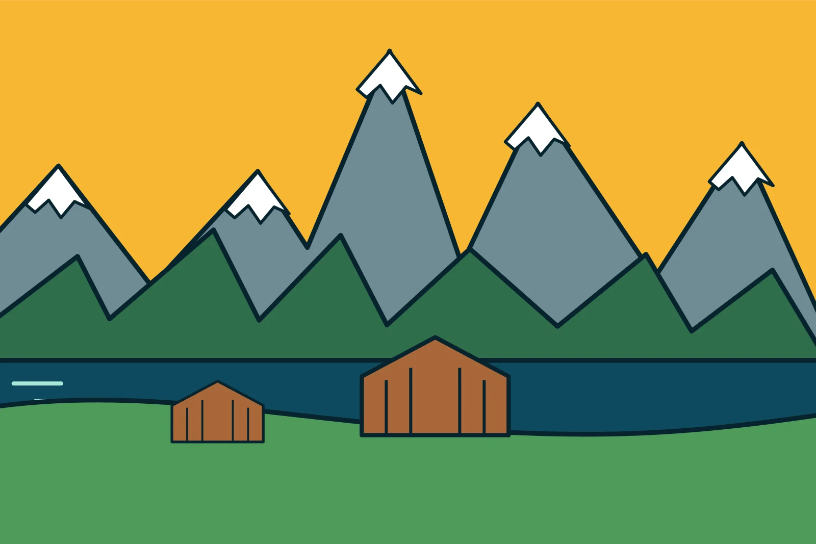
Geroldsee: a lake in Zugspitze Region and Karwendel at 927 m, covering 0.11 km² and up to 6.1 m deep. Geroldsee, also known as Wagenbrüchsee, is small, but everyone knows the view: hay barns in front, the Karwendel behind. It lies between Krün and Garmisch.
About Geroldsee
This shallow lake sits at 927 m in the hummocky meadows at Gerold and covers only about 11 hectares. It is 6 m deep and part of the wide Ice Age meadow landscape around Krün.
Can you swim here?
The water warms up well in summer. Swimming is possible from the east shore, but stay on paths as the meadows are mown.
Which walks are there?
The lake is minutes from the Wagenbrüchsee car park. A loop across the meadows to Krün or Klais takes about three hours.
How do you get there?
Klais station lies on the Munich–Mittenwald line, about 30 minutes on foot from the lake.
Towns on the shore: Krün. Travel time from Munich is a rough estimate by car or train. Area, depth and altitude from Wikipedia and Wikidata.
Frequently asked questions
Where is Geroldsee?
Between Krün and Klais in the Werdenfels region, near the B2.
Geroldsee or Wagenbrüchsee?
Both are correct; Wagenbrüchsee is the older name.