
Lakes in Bavaria
40 lakes from the Alps to the Bavarian Forest. Filter below or go straight to your region.
Which lake suits today?
Choose what matters to you. The map instantly shows which lakes match.
40 lakes
Königssee
603 m · 190 m max. depth
Königssee lies like a fjord between the Watzmann and the Hagen Mountains.
Obersee
613 m · 51 m max. depth
Obersee lies behind Königssee and can only be reached on foot from the Salet landing.
Hintersee
790 m · 23 m max. depth
Little Hintersee at Ramsau sits beneath the Hochkalter and Reiter Alm.

Thumsee
527 m · 21 m max. depth
Thumsee near Bad Reichenhall is small, ringed by mountain forest and surprisingly warm in summer.
Chiemsee
518 m · 73 m max. depth
At about 80 km², Chiemsee is Bavaria’s largest lake and is nicknamed the Bavarian Sea.
Simssee
470 m · 22.5 m max. depth
Simssee sits between Rosenheim and Chiemsee and often stays in its big neighbour’s shadow.

Waginger See
442 m · 27 m max. depth
Waginger See in the Rupertiwinkel is promoted as the warmest lake in Upper Bavaria.
Tegernsee
726 m · 72.6 m max. depth
Tegernsee is an hour by train from Munich, with clear water, mountains on all sides and the Ducal Brewery Tavern.
Schliersee
777 m · 40.5 m max. depth
Schliersee is smaller and quieter than Tegernsee.
Spitzingsee
1,084 m · 16.3 m max. depth
At 1,084 m, Spitzingsee is one of the highest lakes along Munich’s Alpine edge.
Sylvensteinsee
767 m · 3.92 km²
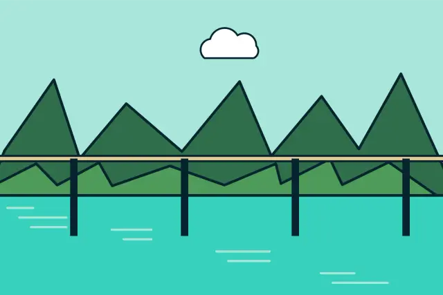
Sylvensteinsee is a reservoir on the Isar with turquoise water and a high bridge.

Walchensee
801 m · 189.5 m max. depth
Walchensee glows like the Caribbean in the Alps: turquoise, up to 189.5 m deep and with winds that draw surfers from across southern Germany.
Kochelsee
600 m · 65.9 m max. depth
At Kochelsee the Alps meet the foothills head-on.
Staffelsee
649 m · 39.4 m max. depth
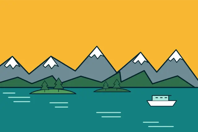
Staffelsee near Murnau has seven islands, warm moor water and the Blue Land of the painters around it.
Riegsee
659 m · 15.4 m max. depth
Riegsee lies next to Staffelsee with wide views to the Ester Mountains and Karwendel.
Starnberger See
584 m · 127.8 m max. depth
Starnberger See starts almost at Munich’s city limits: 56 km² of water, an S-Bahn to the shore and Rose Island, where Ludwig II met Empress Sisi.
Ammersee
533 m · 81.1 m max. depth
Ammersee is Bavaria’s third-largest lake and a little more down-to-earth than Starnberger See.
Wörthsee
562 m · 34 m max. depth
Wörthsee is Munich’s swimming lake: warm, clear and only 35 minutes from the city.
Pilsensee
534 m · 17.1 m max. depth
Pilsensee is the smallest of the big Five Lakes, between Wörthsee and Ammersee.
Eibsee
973 m · 36 m max. depth
Eibsee lies directly below the Zugspitze and shimmers green to turquoise depending on the light.
Geroldsee
927 m · 6.1 m max. depth
Geroldsee, also known as Wagenbrüchsee, is small, but everyone knows the view: hay barns in front, the Karwendel behind.
Barmsee
885 m · 30.6 m max. depth
Barmsee near Krün lies in a wooded hollow facing the Karwendel and Wetterstein.
Lautersee
1,013 m · 18.6 m max. depth
Lautersee lies in a high valley above Mittenwald, a short walk from town and from Ferchensee.
Ferchensee
1,060 m · 19.2 m max. depth
Ferchensee sits at 1,060 m beneath the Wetterstein and has a beer garden with a boat jetty.

Badersee
766 m · 18 m max. depth
Tiny Badersee in Grainau covers about one hectare but is famous for its emerald water and the mermaid on its bed.
Forggensee
781 m · 41 m max. depth
Forggensee near Füssen is Germany’s largest reservoir by area.
Alpsee bei Hohenschwangau
814 m · 62 m max. depth
Alpsee lies at the foot of Neuschwanstein and Hohenschwangau castles.
Weißensee
788 m · 24 m max. depth
Weißensee west of Füssen sits right on the road to the Tannheim Valley but stays calm.
Hopfensee
784 m · 10.4 m max. depth
Hopfensee near Füssen has a Kneipp resort with a promenade and views of the Tannheim mountains.
Bannwaldsee
786 m · 12 m max. depth
Bannwaldsee lies quietly between Forggensee and the Ammergau Alps.

Großer Alpsee
725 m · 22.7 m max. depth
Großer Alpsee near Immenstadt is the largest natural lake in the Allgäu.
Seealpsee
1,622 m · 42 m max. depth
Seealpsee sits high above Oberstdorf at 1,622 m below the Nebelhorn.

Freibergsee
931 m · 25 m max. depth
Freibergsee near Oberstdorf is one of Germany’s highest swimming lakes with a lido.
Bodensee bei Lindau
395 m · 251 m max. depth
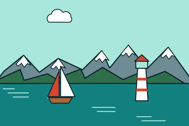
Bavaria’s short stretch of Lake Constance holds the island town of Lindau with its lion and lighthouse, with the Alps of Austria and Switzerland behind.
Großer Brombachsee
407 m · 32.5 m max. depth
Großer Brombachsee is the heart of the Franconian Lake District: man-made, but with sandy beaches, sailing boats and a passenger trimaran.
Altmühlsee
413 m · 4.5 km²
Altmühlsee near Gunzenhausen is shallow, warm and a paradise for birds.
Rothsee
372 m · 1.6 km²
Rothsee south of Nuremberg is a reservoir on the Main-Danube Canal and a local favourite for swimming and windsurfing.
Steinberger See
364 m · 50 m max. depth
Steinberger See is the largest lake in the Upper Palatinate Lake District.
Großer Arbersee
935 m · 16 m max. depth
Großer Arbersee lies below the Großer Arber in the Bavarian Forest.
Rachelsee
1,071 m · 13.2 m max. depth
Rachelsee is the only cirque lake in Bavarian Forest National Park and sits quietly beneath the Großer Rachel.
All lakes compared
The deepest lake in our list is Bodensee bei Lindau at 190 m, and the largest lake entirely in Bavaria is Chiemsee at 79.9 km². The highest in our selection is Seealpsee at 1,622 m.
| Lake | Region | Altitude | Area | Max. depth |
|---|---|---|---|---|
| Bodensee bei Lindau | Allgäu and Lake Constance | 395 m | 536 km² | 251 m |
| Königssee | Berchtesgaden Land | 603 m | 5.22 km² | 190 m |
| Walchensee | Tölzer Land and Blue Land | 801 m | 16.27 km² | 189.5 m |
| Starnberger See | Five Lakes Region | 584 m | 56.36 km² | 127.8 m |
| Ammersee | Five Lakes Region | 533 m | 46.6 km² | 81.1 m |
| Chiemsee | Chiemgau | 518 m | 79.9 km² | 73 m |
| Tegernsee | Tegernsee, Schliersee and Isarwinkel | 726 m | 8.9 km² | 72.6 m |
| Kochelsee | Tölzer Land and Blue Land | 600 m | 5.9 km² | 65.9 m |
| Alpsee bei Hohenschwangau | Allgäu and Lake Constance | 814 m | 0.88 km² | 62 m |
| Obersee | Berchtesgaden Land | 613 m | 0.57 km² | 51 m |
| Steinberger See | Franconia, Upper Palatinate and Bavarian Forest | 364 m | 1.84 km² | 50 m |
| Seealpsee | Allgäu and Lake Constance | 1,622 m | 0.08 km² | 42 m |
| Forggensee | Allgäu and Lake Constance | 781 m | 15.2 km² | 41 m |
| Schliersee | Tegernsee, Schliersee and Isarwinkel | 777 m | 2.22 km² | 40.5 m |
| Staffelsee | Tölzer Land and Blue Land | 649 m | 7.66 km² | 39.4 m |
| Eibsee | Zugspitze Region and Karwendel | 973 m | 1.77 km² | 36 m |
| Wörthsee | Five Lakes Region | 562 m | 4.34 km² | 34 m |
| Großer Brombachsee | Franconia, Upper Palatinate and Bavarian Forest | 407 m | 8.71 km² | 32.5 m |
| Barmsee | Zugspitze Region and Karwendel | 885 m | 0.55 km² | 30.6 m |
| Waginger See | Chiemgau | 442 m | 6.61 km² | 27 m |
| Freibergsee | Allgäu and Lake Constance | 931 m | 0.18 km² | 25 m |
| Weißensee | Allgäu and Lake Constance | 788 m | 1.36 km² | 24 m |
| Hintersee | Berchtesgaden Land | 790 m | 0.16 km² | 23 m |
| Großer Alpsee | Allgäu and Lake Constance | 725 m | 2.47 km² | 22.7 m |
| Simssee | Chiemgau | 470 m | 6.49 km² | 22.5 m |
| Thumsee | Berchtesgaden Land | 527 m | 0.17 km² | 21 m |
| Ferchensee | Zugspitze Region and Karwendel | 1,060 m | 0.11 km² | 19.2 m |
| Lautersee | Zugspitze Region and Karwendel | 1,013 m | 0.12 km² | 18.6 m |
| Badersee | Zugspitze Region and Karwendel | 766 m | 0.01 km² | 18 m |
| Pilsensee | Five Lakes Region | 534 m | 1.95 km² | 17.1 m |
| Spitzingsee | Tegernsee, Schliersee and Isarwinkel | 1,084 m | 0.28 km² | 16.3 m |
| Großer Arbersee | Franconia, Upper Palatinate and Bavarian Forest | 935 m | 0.08 km² | 16 m |
| Riegsee | Tölzer Land and Blue Land | 659 m | 1.97 km² | 15.4 m |
| Rachelsee | Franconia, Upper Palatinate and Bavarian Forest | 1,071 m | 0.06 km² | 13.2 m |
| Bannwaldsee | Allgäu and Lake Constance | 786 m | 2.28 km² | 12 m |
| Hopfensee | Allgäu and Lake Constance | 784 m | 1.94 km² | 10.4 m |
| Geroldsee | Zugspitze Region and Karwendel | 927 m | 0.11 km² | 6.1 m |
| Sylvensteinsee | Tegernsee, Schliersee and Isarwinkel | 767 m | 3.92 km² | – |
| Altmühlsee | Franconia, Upper Palatinate and Bavarian Forest | 413 m | 4.5 km² | – |
| Rothsee | Franconia, Upper Palatinate and Bavarian Forest | 372 m | 1.6 km² | – |